
The problem
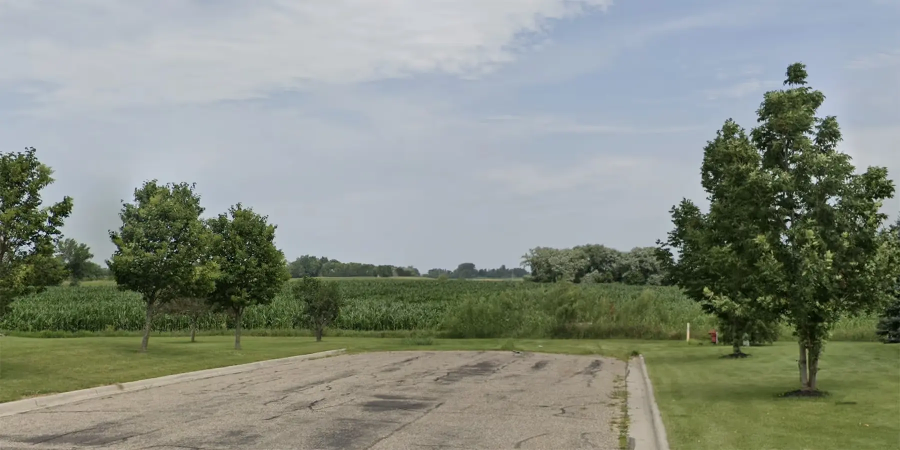
Build a municipal case for an affordable, highly amenitized housing community while responding carefully to the site’s topography, tree lines, groundwater, surface drainage, wetlands and neighbouring development.
The move
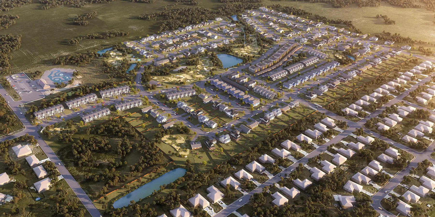
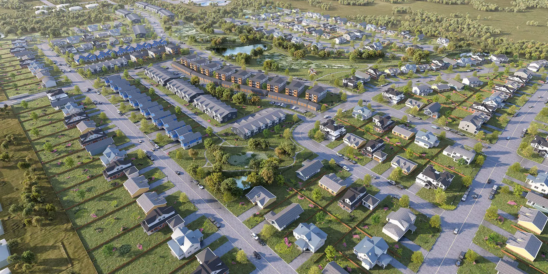
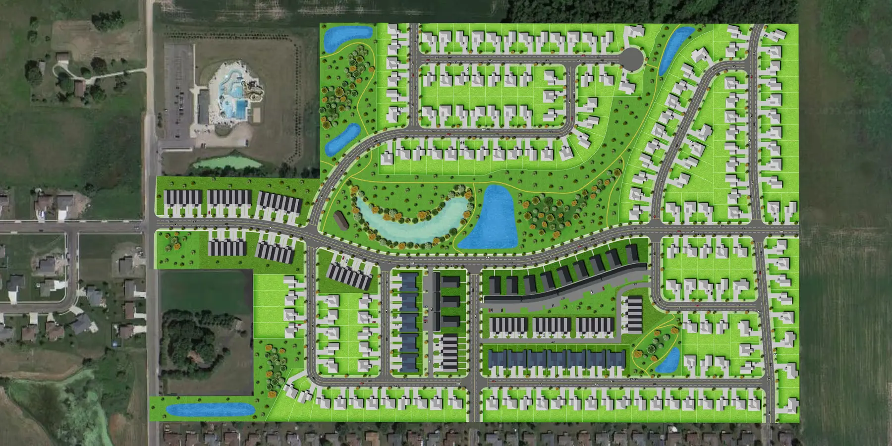
Use the site analysis to shape the street and lot plan, distribute four housing types, reinforce public frontages and connect residents to shared amenities through a walkable open-space network.
The system
The plan combines 163 single-family leased or sold lots with duplexes, townhouses and low-rise apartments. Sixteen acres of open space and wetlands are preserved and linked by 10-foot-wide trails.
The numbers
- 82.7-acre site
- 328 homes
- 163 single-family lots
- 16 acres of open space + wetlands
- 10-foot-wide trails
The proof
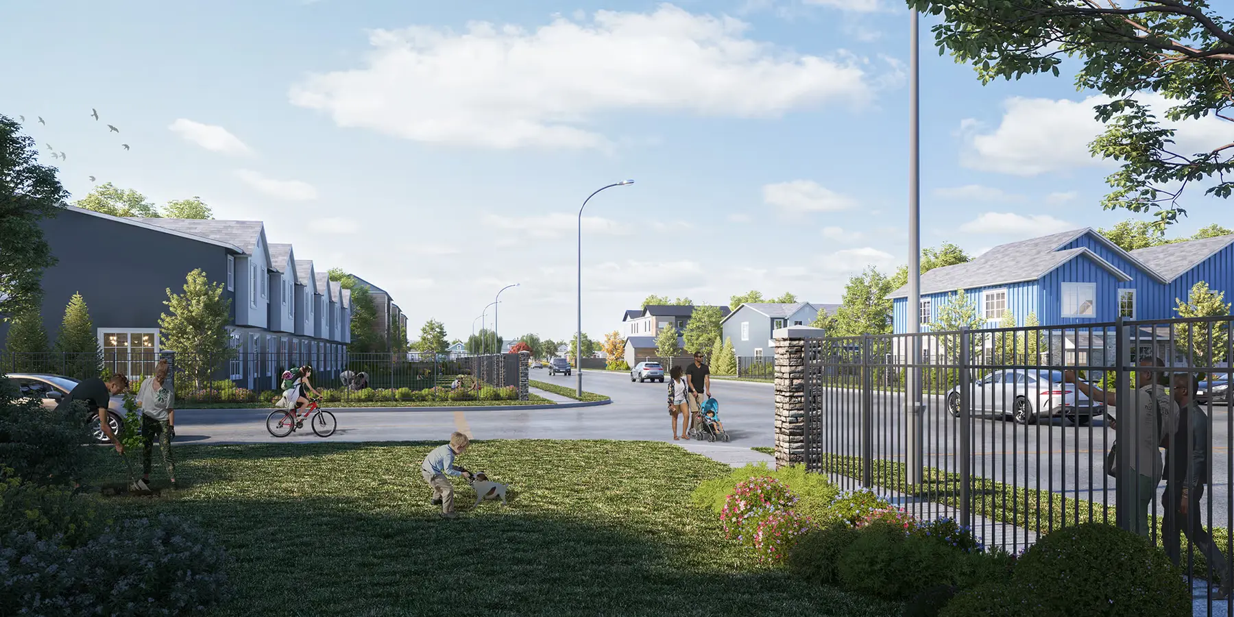
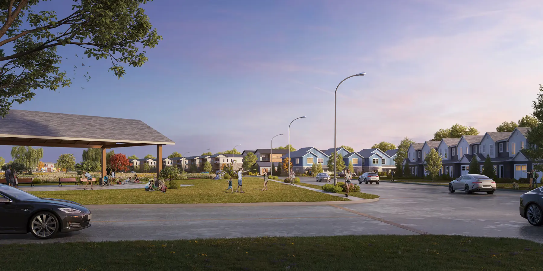
A city-facing design brief comprising research and site analysis, data tables, a sketch plan, lot-information plans, reference imagery and conceptual 3D renderings.
“Housing yield, municipal approvals and community character are strongest when product mix and land planning are resolved together.”